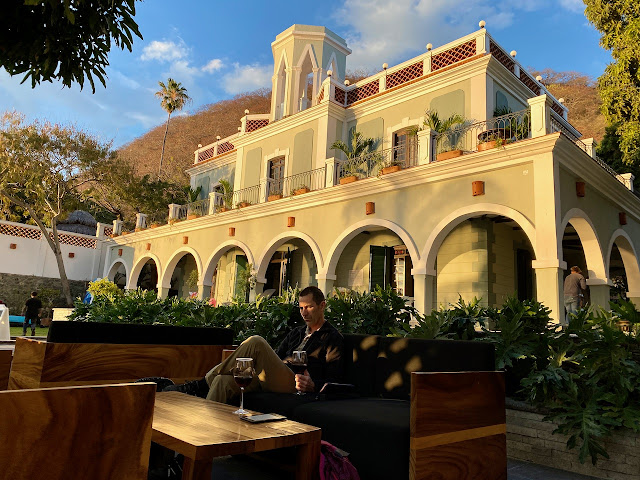
Chapala is where some of the other pilots from Canada and the US are staying. It's lower in elevation, and therefore warmer, than Tapalpa so we wanted to check it out. Andrew and I agreed we liked being closer to the flying site and the town of Tapalpa itself much better.
We got out for a run the next morning and, while Andrew went for a longer run, I got my camera and took a few photos. I was a bit later than the best light and it was cloudy so these aren't the greatest.
Lake Chapala is quite large and, rather than get back onto a main highway, we followed along the lake road which was slow but very scenic and interesting. Narrow, bumpy roads and small villages hugging the shoreline. Kids riding their bikes and a group in sports uniforms running to their soccer game.
Eventually we got to the end and took some of the toll roads (smooth, double lane) to get most of the way to our next destination, the Tzintzuntzan archeological site. Tzintzuntzan means "place of the hummingbirds" but unfortunately we didn't see any hummingbirds.
 |
| One of five yácata pyramids overlooking Lake Pátzcuaro |
 |
| Both round and square construction and the layers showing how they are built. |
 |
| If you looked closely, petroglyphs could be found throughout the site. |
 |
| We kept seeing large trees with red flowers at a distance as we were driving and couldn't figure out what they were. Here is a smaller version of a poinsettia tree. |
We stayed the night in Pátzcuaro in another lovely but well-disguised hotel.


No comments:
Post a Comment